Elevate Your Site Planning & Development with Advanced
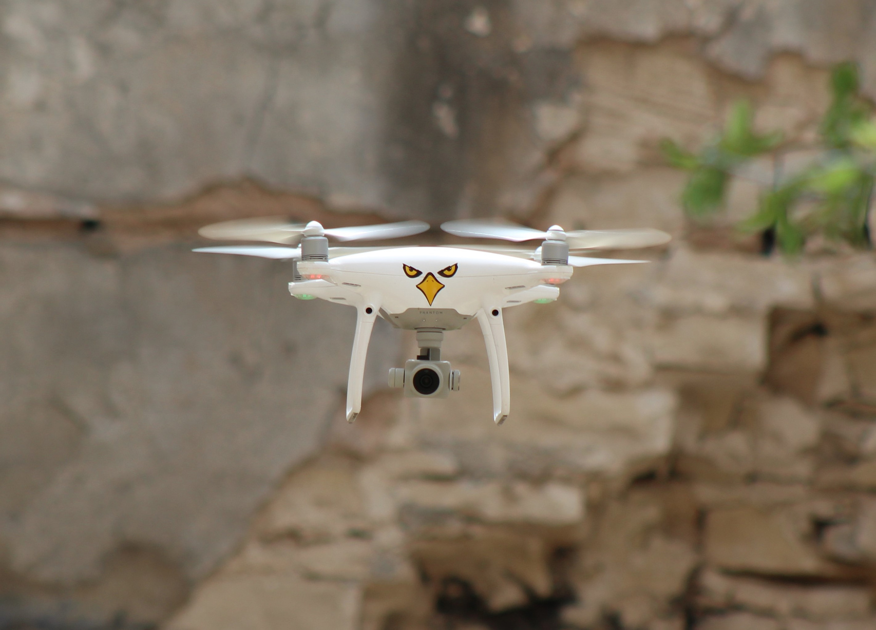
Drone Surveying
Our commitment to excellence is reflected in our adherence to FAA regulations and our dedication to safe and efficient drone operations. DrōnIt Aerial Services prides itself on conducting all flight operations with the utmost regard for regulatory compliance and operational safety, ensuring that your project’s aerial surveying needs are met with the highest standards of professionalism.
Elevate Your Site Planning & Development with Advanced Drone Surveying
At DrōnIt Aerial Services, we specialize in providing comprehensive aerial mapping and survey solutions tailored for landowners, engineers, and architects. Our services are essential for a variety of applications, including power and utility planning, land-use strategy, environmental assessments, earthwork calculations, mining analysis, commercial project development, landfill volume measurements, and beyond.
While traditional land surveys remain a cornerstone of site assessment, our drone mapping and survey offerings are designed to complement these methods by delivering an expansive overview that integrates high-resolution imagery. This fusion of data provides our clients with a more nuanced understanding of their projects, enabling informed decisions from the outset. Drones have become an indispensable tool in our arsenal, not only for evaluating pre-development conditions but also for generating precise as-built documentation for industrial and commercial endeavors.
